Weather Arlberg
Weather forecast
We are under the influence of warm, moist air. The morning, in particular, will bring very pleasant conditions. Low early morning mist will clear away to give a sunny first half of the day. In the afternoon, cumulus cloud may lead to showers or thunderstorms.
There are no significant changes expected for Thursday and Friday. We will then get sunny and dry weather on Saturday.
morning, 06.05.2026

9°C/48°F
50%
2900m
afternoon, 06.05.2026

13°C/55°F
40%
2700m
Thursday, 07.05.2026

11°C/52°F
40%
2400m
Friday, 08.05.2026

14°C/57°F
60%
2900m
Satellite picture
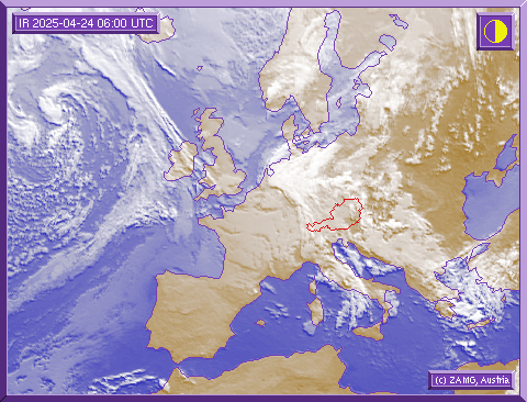
On the satellite photograph you can see the extended-range weather situation over Europe. The picture shows how the weather will develop in the next hours. If you are planning a ski tour or an off-piste excursion, please observe the developing weather situation on our satellite picture.
Here you can recognise important information on the extended-range weather situation and study the development of bad weather fronts. It is also important not to forget to seek further vital information about the avalanche warning stages before you undertake a trip into the backcountry!


